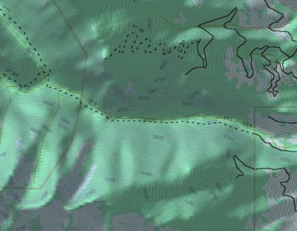
| June 30, 2002. Our first hike of
the season took us up Bear Creek. The trailhead is about four miles
southwest of Victor, Montana, coordinates
46,22.8N:114,16W:4100ft. Click here for
trail pictures. |
|
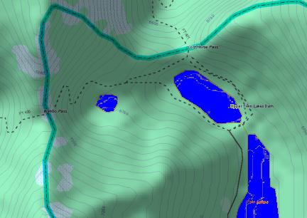
| July 21, 2002. After several
weeks of scorching days and evening thunderstorms, the weather turned
clear and mild, enticing us to head for the high country. Our
destination is the Twin Lakes basin, at the headwaters of Lost Horse
Creek, one of the few really remote areas in the central Bitterroot
Range accessible by motor vehicle. Leaving the valley at 3800 ft
elevation, the pavement ends about three miles up Lost Horse Creek,
after which the primitive, rough and rocky road climbs steadily along
the creek, then after the creek branches, traverses an old burn area
, ending at a parking area at the head of Lower Twin Lake, elevation
6570ft, 46,9N:114,29W. Click here for
trail pictures. |
|
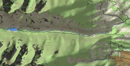
| September 21, 2002. This was a solo trip by Larye: Judy was a a
conference in Seattle this weekend. The first day of Fall also marked
the first frost in the valley, but the day dawned bright and clear.
One of the destinations on the summer list of hikes was the Fred Burr
Reservoir, which used to be accessible by road but has been cut off by
private development, limited to hiking and horseback easements. The
trail to the reservoir is about four and a half miles from the new
trailhead. Because the trail was originally a road, Larye decided to
try it on his bicycle, a no-suspension Specialized Hard Rock
configured for commuting (fenders, lights, clipless pedals, racks),
which turned out to be not suitable at all. The route was fairly
steep and very rough in places, guarded by bull moose and now the site
of at least one spectacular bike wreck, but he survived to tell the tale, told
here. |
|